

 218-326-5573
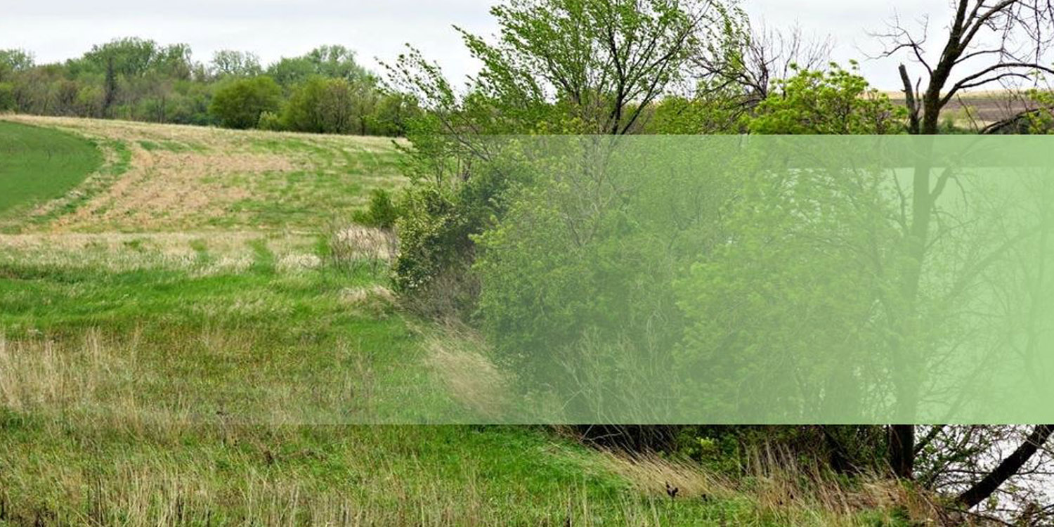
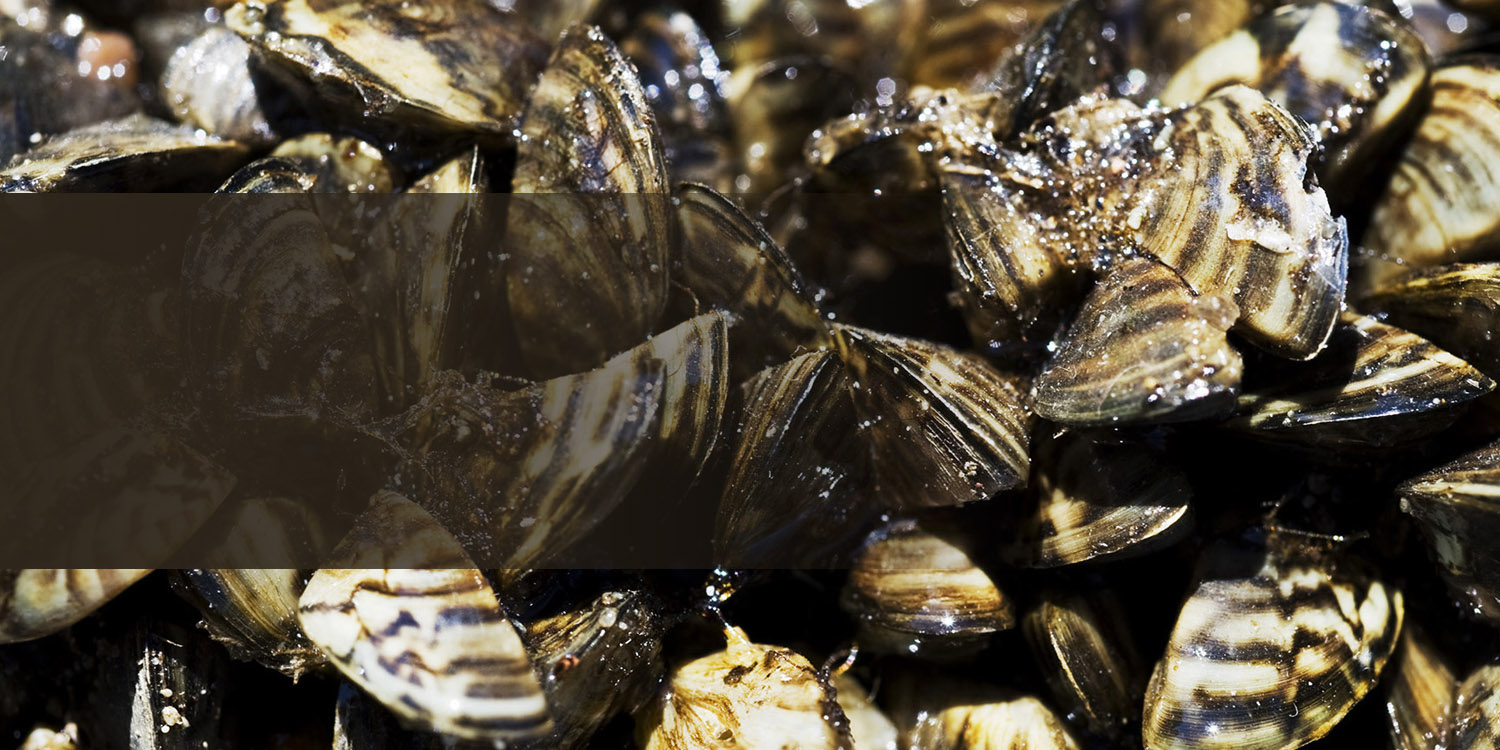

CLEAN all visible aquatic plants, zebra mussels, and other prohibited invasive species from watercraft, trailers, and water-related equipment before leaving any water access or shoreland.

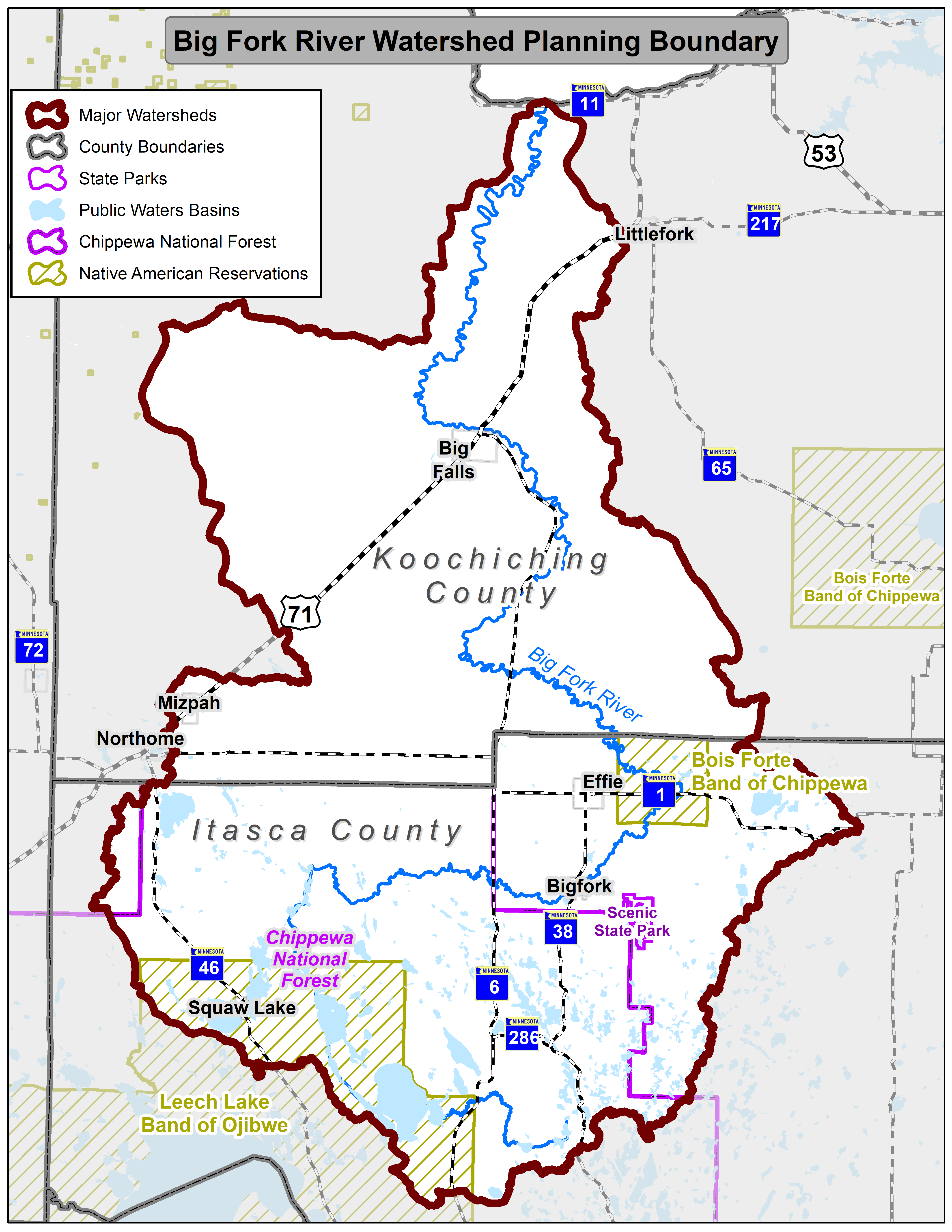
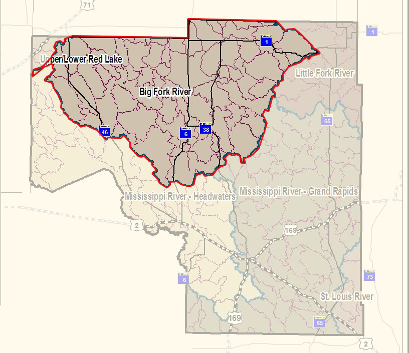
Big Fork River - One Watershed, One Plan
1W1P Process
Overview
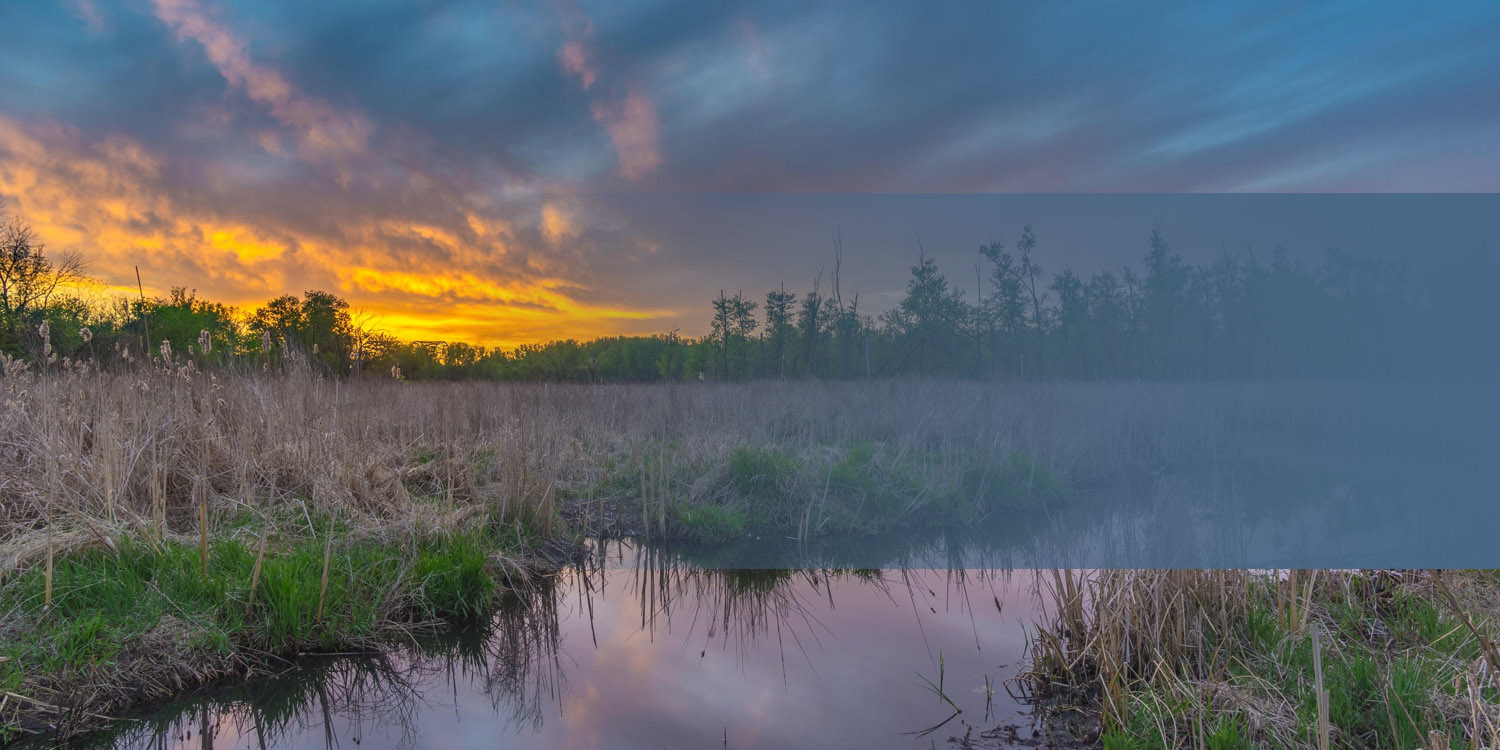
In 2024, The Big Fork River Watershed began undergoing a comprehensive planning effort through the One Watershed, One Plan (1W1P) program. This is a state-supported initiative to develop watershed-based, locally driven plans that guide how we maintain and improve water resources. The Big Fork River Watershed spans over 1.3 million acres across multiple counties in northern Minnesota and includes many lakes, wetlands, rivers, and forested lands.
What is 1W1P?
One Watershed, One Plan brings together local governments and communities to develop one coordinated watershed management plan. The goal is to align local priorities with state goals—focusing on what matters most to the people who live, work, and spend time here. This plan does not change any existing regulations or ordinances. It is a collaborative effort to identify where voluntary conservation work and funding can make the biggest impact on water quality.
Why This Matters
Planning at the watershed scale allows us to focus efforts where they will make the most difference. Whether it's improving stormwater systems, restoring wetlands, managing runoff from forest lands, or protecting drinking water, watershed-based planning helps ensure healthy land and water for future generations. This process is not about new regulations. It's about working together to make the most of existing programs and resources.
How You Can Get Involved
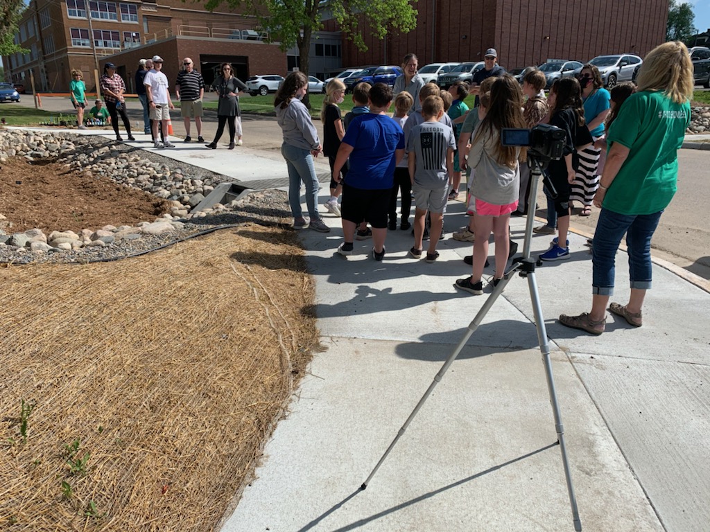
This planning process depends on local knowledge and public input. There will be opportunities to attend planning meetings and share ideas. Anyone who lives in, works in, or cares about the watershed is encouraged to participate. See below for the schedule of topic-based planning meetings.
Big Fork River Planning Area
Advisory Committee Notifications
Topic Advisory Meetings are where most of the collaborative work happens. These meetings bring together technical experts, landowners, residents, and local staff to explore key resource concerns and potential solutions. They are open to the public, and anyone interested in the watershed is encouraged to attend.
Each meeting focuses on specific planning topics:
August 6th, 1-4pm: Lakes & Rivers at the Marcell Family Center (49103 MN-38, Marcell, MN 56657)
September 3rd, 1-4pm: Forests & Wetlands, at the Big Falls City Building in Big Falls, MN (410 2nd St. NW, Big Falls, MN 56627)
October 1st, 1-4pm: Urban Stormwater & Drainage at the Marcell Family Center (49103 MN-38, Marcell, MN 56657)
November 5th, 1-4pm: Farms & Groundwater, at the Big Falls City Building in Big Falls, MN (410 2nd St. NW, Big Falls, MN 56627)
January 7th, 1-4pm: Finalize Issues & Opportunities List, virtual meeting
February 4th, 1-4pm: Goal Development at the Marcell Family Center (49103 MN-38, Marcell, MN 56657)
March 4th, 1-4pm: Implementation Table Development at the Big Falls City Building in Big Falls, MN (410 2nd St. NW, Big Falls, MN 56627)
April 1st, 1-4pm: Plan Programs & Administration at the Marcell Family Center (49103 MN-38, Marcell, MN 56657)
May 6th, 1-4pm: Internal Draft Plan Review, virtual meeting
June 3rd, 1-4pm: Review Internal Draft Plan Comments, virtual meeting
Late June: Draft plan release for official public notice
Policy Committee Notifications
Policy Committee Meetings
The Policy Committee is made up of elected officials from local and Tribal governments participating in the plan. This committee is responsible for final decisions about what goes into the plan and how priorities are set. Policy Committee meetings are open to the public and include time for updates and discussion.
The next Policy Committee meeting for this watershed is planned for 10:00am on Wednesday, March 25th, 2026 at the Marcell Family Center (49103 MN-38, Marcell, MN 56657)
Policy Committee Meeting Agendas
Approved Policy Committee Meeting Minutes
Advisory Committee Reports
June 11, 2025 Agenda
August 27, 2025 Agenda
January 28, 2026 Agenda
March 25, 2026 Agenda
Big Fork River
One Watershed, One Plan
The Big Fork River Watershed has begun the Comprehensive Watershed Planning Process. This will identify priority areas in the watershed to implement voluntary practices to improve water quality in the watershed. To learn more about the watershed planning process, see our Big Fork River 1W1P website.
The Big Fork River watershed, which covers 1,326,947 acres, flows 165 miles from Dora Lake (45 miles northeast of Bemidji in north-central Itasca County) to the Rainy River, which forms the Minnesota/Canadian border. This confluence is 16 miles west-southwest of International Falls. Nearly 60% of the watershed is land owned or managed by the state.
Characteristics
Development pressure is moderate in most areas, with occasional farms being parceled out for development, recreation, or country homes. Soil content in the watershed varies from sand to clay glacial till, while low bog areas consist of loam over clay soils. The watershed is mostly low relief with an elevation change of about 375 feet from the headwaters to the confluence at the Rainy River. There are approximately 113 tributary streams that flow into the Big Fork River, though many are seasonal or intermittent that are present during the heavy spring runoff.
What's being done
The Big Fork River watershed is currently in its WRAPS (watershed restoration and protection strategies) Cycle II starting in 2018. Starting in 2020, a Surface Water Assessment Grant (SWAG) was provided to collect water samples from 23 lakes in theBig Fork watershed within Itasca County. Results from this study will help determine the health of the watershed and identify any possible lakes that may need restoration or protection to improve water quality. In previous monitoring, Jessie and Island lake were identified as impaired waterbodies due to excessive nutrients in the lake- current research is underway to help identify possible sources and protect the water quality of these lakes. The Watershed Pollutant Load Monitoring Network (WPLMN) measures and compares data on pollutant loads from Minnesota’s rivers and streams and tracks water quality trends. Water pollution load monitoring is currently being completed on the Big Fork River to find how much and what type of runoff pollution ends up in the Big Fork River following rain events. This helps identify if the water quality is improving, helps identify what pollutants are in the river and try to reduce them.
The Minnesota Board of Water and Soil Resources (BWSR) showcases the Itasca SWCD and City of Coleraine stormwater management grant: https://youtu.be/6ZjEOs9Y6AQ
Full article available at: https://bwsr.state.mn.us/sites/default/files/2021-08/Itasca%20SWCD%20Trout%20Lake%202021_0.pdf