


 218-326-5573
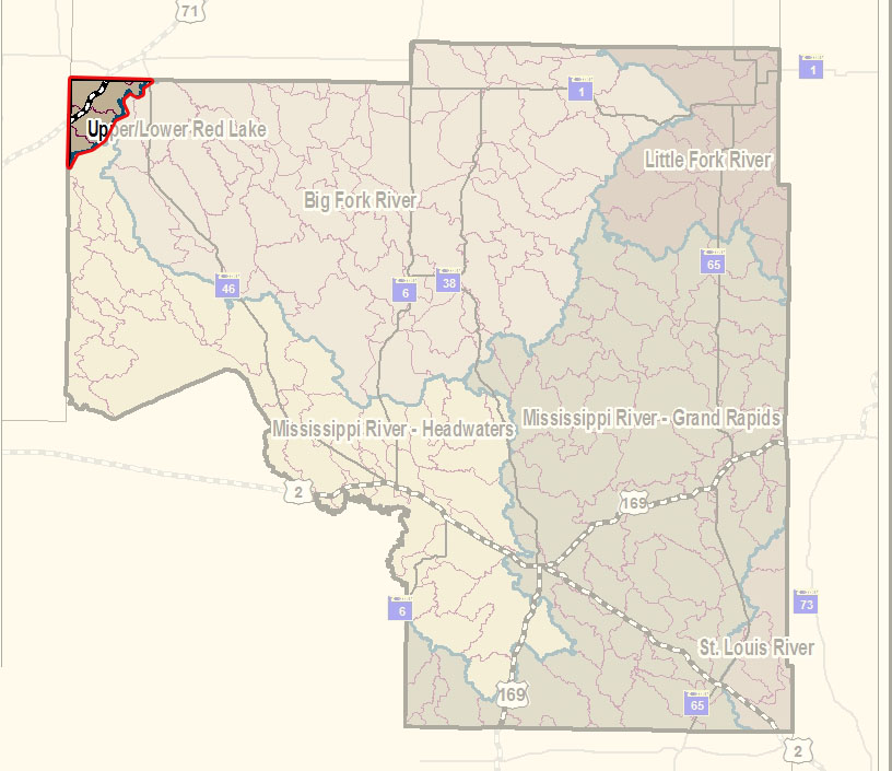 The Upper/Lower Red Lake watershed covers 1,263,678 acres. Located in Minnesota’s Northern Wetlands and Northern Lakes and Forest Ecoregions and a portion of the Red River Valley Ecoregion, this watershed is home to Upper and Lower Red Lakes, the two largest bodies of water within the state. The watershed is by both flow volume and surface area the largest drainage basin of the Red River.
Characteristics
Most lands within this watershed are not highly erodible, and are well to moderately well-suited to agricultural uses. Predominate land use/land cover is wetlands (45%), followed by open water (24%), forest (20%), and agriculture (12%). Pasture/hay/grassland makes up 67% of cropland, row crops make up approximately 15% of crop lands, and small grains and grasslands enrolled in the Conservation Reserve Program (CRP) make up the majority of the balance.
While large areas of wetlands exist to the northwest, south and east of the open water of the Red Lakes, there are areas of extensive drainage northeast of Upper Red Lake facilitating agricultural land use. There are 445 farms in the subbasin. About 83 percent of the farms are less than 500 acres in size. Fifty eight of the farms are between 500 and 1000 acres (13%) and the remainder are larger than 1000 acres in size. Fifty two percent of the farm operators are full time producers and do not rely on off-farm income. The main crops grown are small grains, soybeans, and forage crops. The pasture land is used primarily for beef and dairy. Resource concerns include improved drainage for crop production, grazing management of forest and grassland, water/wind erosion and water quality impacts. Additional resource concerns include management of excessive wetness, short growing season, and pasture management.
What's being done
A WRAPS project started in 2015. Intensive watershed monitoring has been completed and the Monitoring and Assessment Report is available below. Stressor identification field work is done and the report is in the final stages of development. The target date for a completed WRAPS Report and TMDL Report is sometime in 2019.